
Begin on the platform
Walks from railway stations around Fontainebleau
A station-to-station walk frees you from retracing your steps, but it is best planned backwards: find the last workable train, then choose a published route that fits the day.
Begin with the train home
Fontainebleau Forest is unusually rewarding without a car. The railway follows its eastern side, allowing you to start at one station and finish at another. That opens up genuine traverses, with more changing scenery and no need to retrace the morning’s path.
It also creates one simple rule. Search for your return journey in the Île-de-France Mobilités planner on the exact date, then work backwards to your start. Save two possible trains and decide when you must leave the forest to catch the first. A timetable remembered from several weeks ago is not a fallback plan.
The tourist office gathers routes from local stations, including Bois-le-Roi, Bourron-Marlotte-Grez, Fontainebleau-Avon and Thomery on Transilien line R, as well as a few neighbouring stations. Start with one of its roadbooks or GPX files instead of drawing a straight line between a station and an attractive boulder on the map.
Which station suits your day?
| Station | A good choice for | What to remember |
|---|---|---|
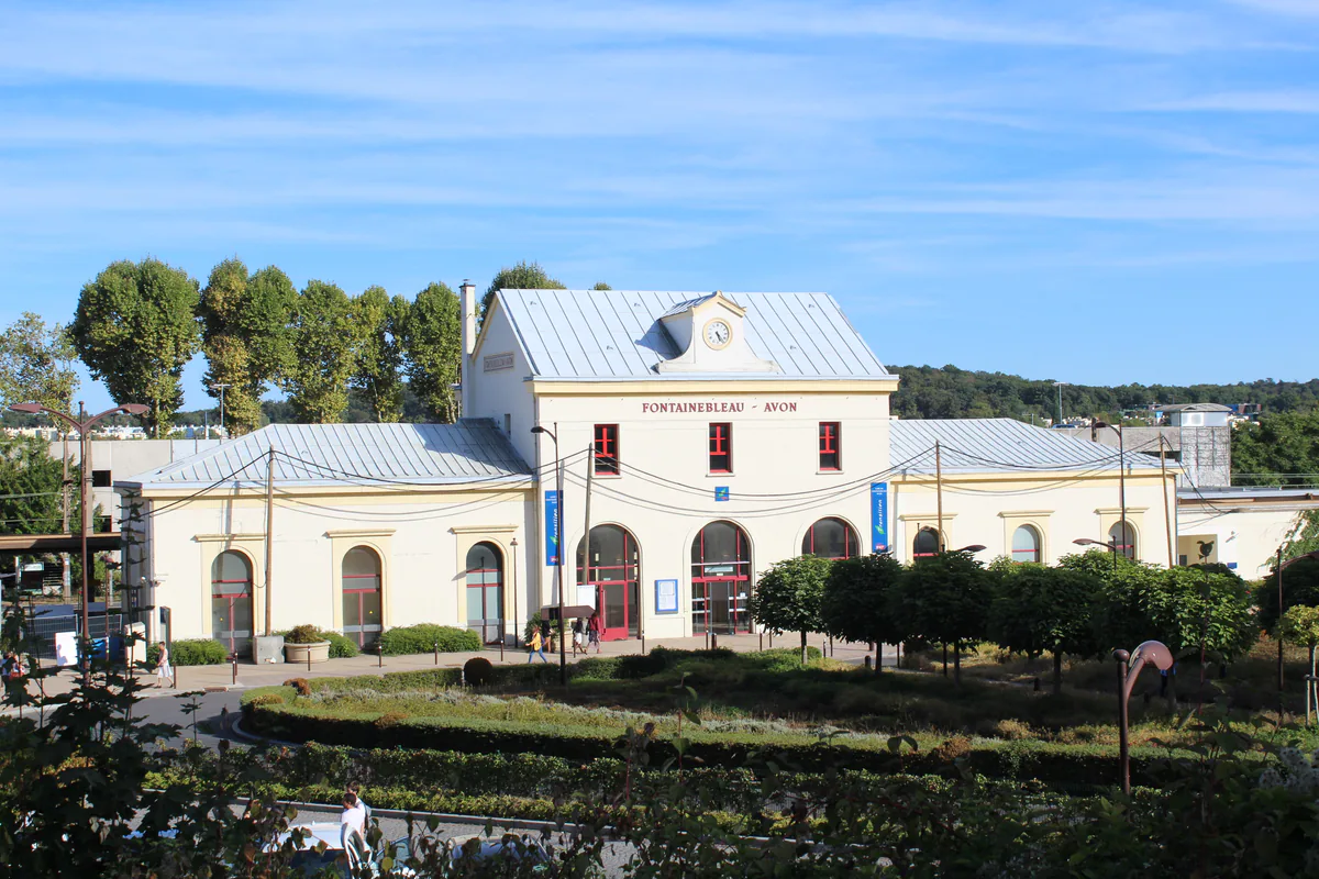
| Fontainebleau-Avon | The château and park, Tour Denecourt, and the start or finish of major traverses | The station is not beside the château entrance or at the centre of every forest area |
| Bois-le-Roi | A traverse to Fontainebleau-Avon, the northern edge and a link with the Seine | The published long traverse is rated difficult, not an easy arrival-day stroll |
| Thomery | A loop through forest, village, Seine riverside and Chasselas heritage | The station is an alternative start, so keep the roadbook for the correct link into the circuit |
| Bourron-Marlotte-Grez | A south-massif traverse and a finish in an artists’ village | Station-to-station routes are long and need a firm exit time |
Fontainebleau-Avon offers the broadest choice. A gentle day can stay around Avon, the park and gardens. A hiking day can begin or finish here after a full traverse. Treat those as different plans. A château visit followed by a long station-to-station hike will rarely fit into one enjoyable day.
Compare the published figures before choosing
The distances, times and grades below come from the route sheets and roadbooks linked by Fontainebleau Tourisme. They describe the published route before breaks, rail connections and any current diversions.
| Official route | Distance | Time | Published grade |
|---|---|---|---|
| Seine, walls and forest loop from Thomery | 9 km | 3 hours | Easy |
| Bois-le-Roi to Fontainebleau-Avon, Between boulders and forest | 25 km | 6 hours 15 | Difficult |
| Fontainebleau-Avon to Bourron-Marlotte-Grez | 23 km | 5 hours 45 | Difficult |
| Fontainebleau-Avon to Moret-Veneux-les-Sablons | 15 km | 3 hours 45 | Moderate |
A 23 or 25 km traverse is a full-day walk. Add time from the platform to the first waymark, breaks and a margin before the train. The Thomery loop offers the easiest way to shorten the day by remaining in the village, but do not improvise a cut-through in the forest section.
Three well-documented formats
Thomery for a first independent outing
The yellow Seine, walls and forest walk is published as 9 km and about three hours. Its principal start is near Saint-Amand church, while the Fontainebleau Tourisme route page also identifies Thomery station as a starting point. The loop brings together an old Seine port, a paved quarry-workers’ climb, forest paths and the village’s Longs Sillons lanes.
It is a good first rail-based choice because you return to the same station. You still need to understand where the station link meets the loop. Our detailed Thomery guide follows the roadbook landmarks and separates the church start from the station option.
Bois-le-Roi to Fontainebleau-Avon for a long traverse
The official Between boulders and forest route begins at Bois-le-Roi and reaches Fontainebleau-Avon through Cuvier-Châtillon, Apremont and Franchard. It carries the FFRandonnée label and the tourist office rates it difficult.
Its appeal lies in the progression from the forest edge to sandstone fields, viewpoints and the great central areas of the massif, all without a shuttle. This is not a route that can be reduced to three junction names. Download its PDF and track, check every area against the current access map and save some energy for the final section. Starting at Bois-le-Roi gives you a clearly identified finish at Fontainebleau-Avon, although the reverse direction may fit your trains better. Make sure the roadbook is usable in your chosen direction.
Fontainebleau-Avon to Bourron-Marlotte-Grez or Moret
The Fontainebleau-Avon to Bourron-Marlotte-Grez traverse alternates open ground, sandstone formations and wet areas. It too is FFRandonnée-labelled and rated difficult. Its destination is worth a little unhurried time in Bourron-Marlotte rather than a dash straight onto the platform.
In the opposite direction, the tourist office publishes a route to Moret-Veneux-les-Sablons that follows the Tour du Massif de Fontainebleau and runs almost entirely beneath the trees. These are separate full-day projects. Sharing a start at Fontainebleau-Avon does not make them two halves to combine.
A station is not a waymark
When you leave the train, locate the first landmark in the roadbook before starting to record your walk. A platform, underpass or exit on the opposite side can put you on the wrong side of the rails immediately. Photograph the station plan and note the first street or forest-road name.
Once among the trees, follow the network named on the route sheet. A white and red section may be part of a GR that continues far beyond your destination station. A blue mark may draw you onto a Denecourt-Colinet detour. Our guide to understanding the waymarks shows how to confirm the number and direction beyond each junction.
Do not build a day around an occasional forest train stop unless it appears in the journey planner for your date. A regular station clearly shown on your ticket makes a much more dependable start.
The check that matters on the morning
Following the July 2026 fires, some published routes cross areas that may still be closed or diverted. Open the ONF map of current access before leaving the station. A barrier on the ground takes priority over a GPX line, even when the track comes from an official source.
Check railway engineering work, weather, sunset and hunting days as well. If the planned route no longer leaves a comfortable journey home, choose a loop near the station or spend the day in town. The château and park, Thomery or Moret can rescue an outing without turning a closure into a risk.
What to carry when reception disappears
Save the roadbook, GPX, ONF access map and two return options offline. Add a charged battery, water, a waterproof layer and a small torch. On a traverse, a blister or a long sandy section can consume far more time than expected.
Leave a margin at the destination. It gives you time to find the correct platform, buy water or simply finish without running. A successful station-to-station walk is not the one that catches a train with seconds to spare. It is the one where the landscape changes all day and the final platform arrives while everyone is still enjoying the journey.